
Project
Mapping migration corridors with satellite data
Combining collar data and field survey to identify the corridors herds rely on.
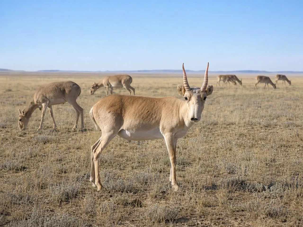
Saiga migrations shift year to year in response to rainfall, grazing and disturbance. Protecting a corridor that herds abandoned a decade ago achieves very little, so the first task is knowing where animals actually move now.
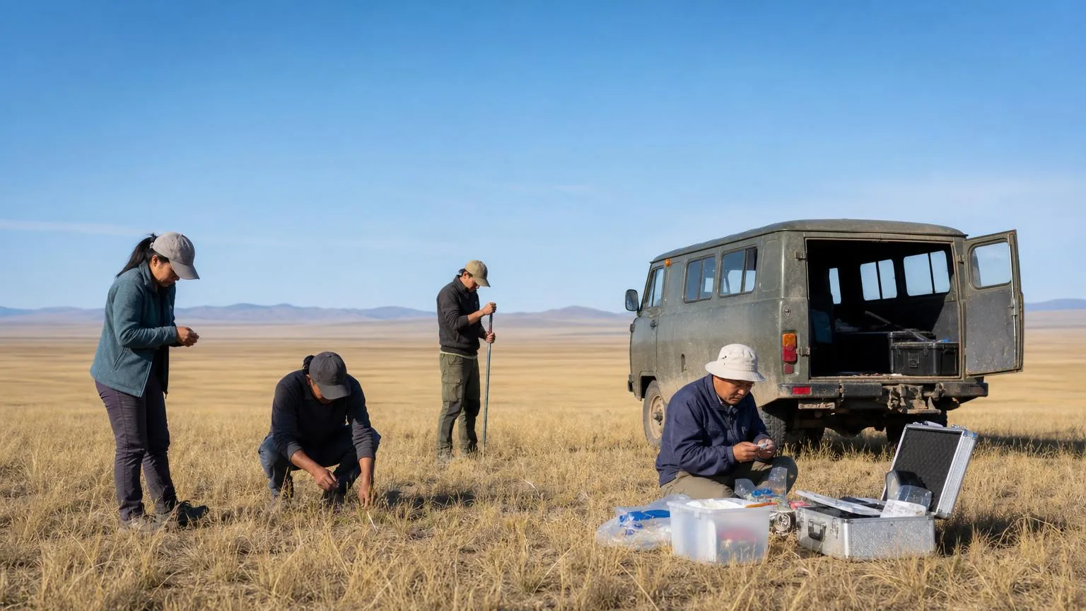
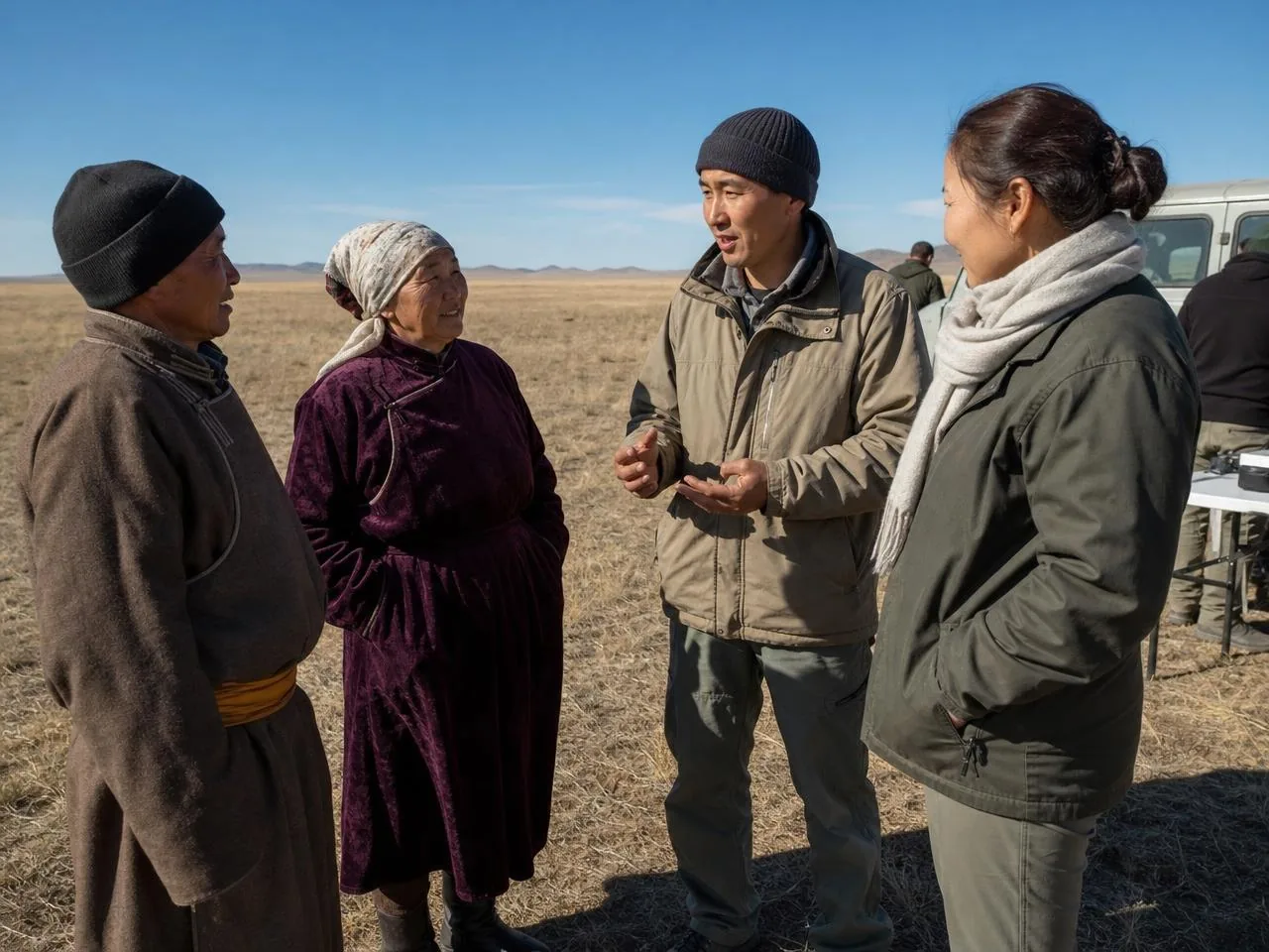
This project combined satellite collar data with ground survey across three seasons, producing a corridor map that range-state agencies can use in infrastructure planning.
The resulting maps are now shared with regional planning authorities, and are being used to inform where fencing, roads and rail alignments are reviewed before construction.
Outcomes
1,800 km
of corridor mapped
3
planning authorities using the data
60+
collared animals contributing
Year by year
How the work has developed
Activities and outputs for each year of the project. Further years are added as the work continues.
Corridor maps were handed to three regional planning authorities, and are now consulted when road and rail alignments are reviewed.
Work began on extending coverage into the neighbouring range state.
Twelve months of continuous tracking gave the first complete picture of seasonal movement, including two crossings that had not previously been recorded.
The first field season concentrated on fitting and testing satellite collars, and on establishing ground survey routes that could be repeated in later years.
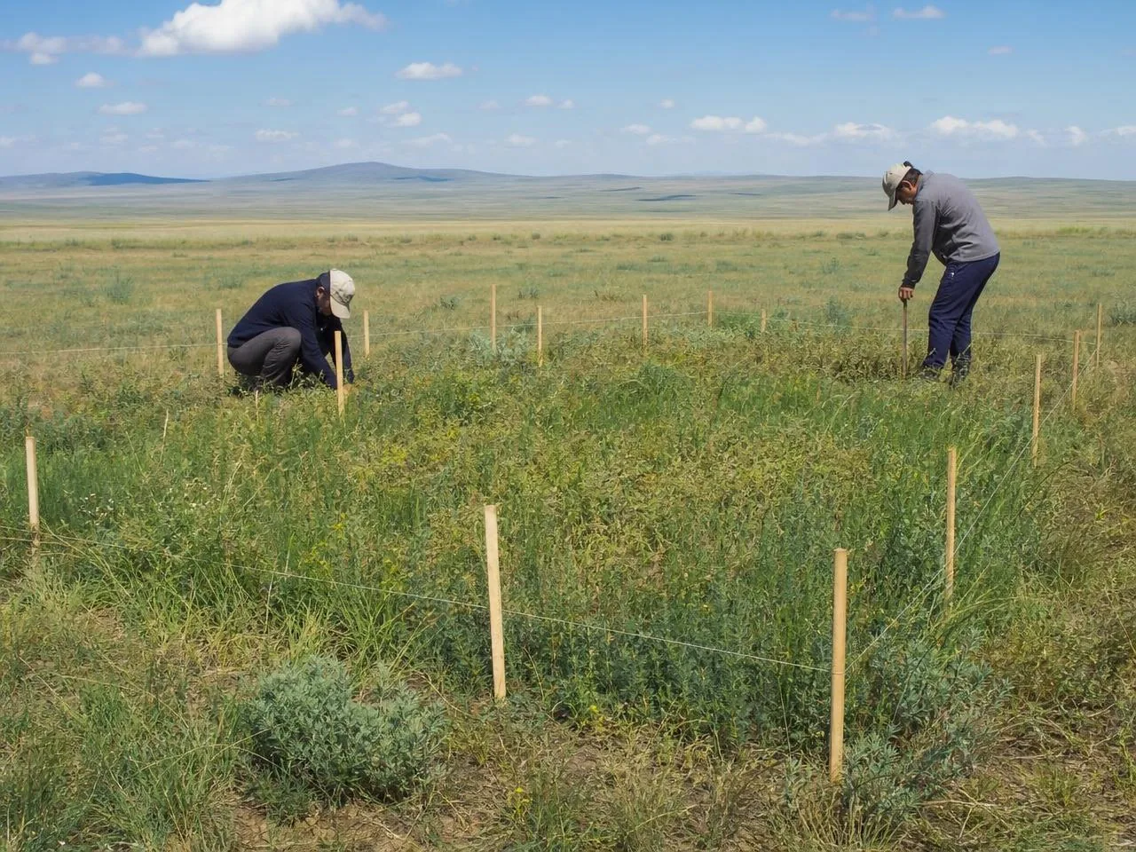
A baseline vegetation and disturbance survey was completed along two suspected corridors.
Related
More projects
Support our work
Keep them moving
Saiga herds cross hundreds of kilometres of open steppe every year. Your support helps keep those routes open, protected and safe.